Welcome to PyGeoHash’s Documentation!
PyGeoHash is a simple, lightweight, and dependency-free Python library for working with geohashes.

Key Features
Zero Dependencies: Works with just the Python standard library
Simple API: Clean, intuitive functions that are easy to understand
Lightweight: Minimal overhead for your projects
Python 3 Support: Fully compatible with modern Python
Robust Implementation: Reliable geohash operations
Visualization: Optional visualization capabilities with Matplotlib and Folium
Quick Start
Installation:
pip install pygeohash
Basic usage:
import pygeohash as pgh

# Encode coordinates to geohash
geohash = pgh.encode(latitude=42.6, longitude=-5.6)
print(geohash)  # 'ezs42e44yx96'

# Decode geohash to coordinates
lat, lng = pgh.decode(geohash='ezs42')
print(lat, lng)  # '42.6', '-5.6'
Visualization:
# Install with visualization support
pip install pygeohash[viz]
import pygeohash as pgh
from pygeohash.viz import plot_geohash
import matplotlib.pyplot as plt
# Plot a geohash
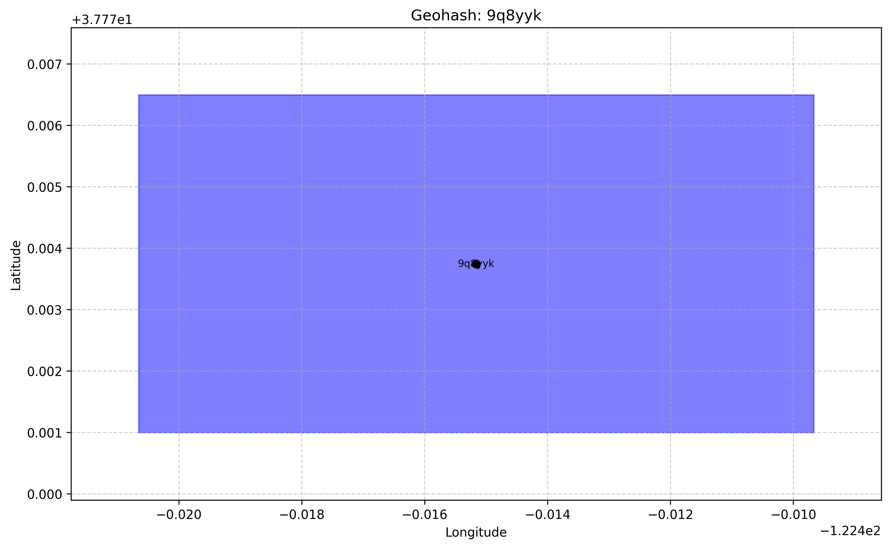
fig, ax = plot_geohash("9q8yyk", color="red", show_label=True)
plt.show()
Contents
Contents:
- Introduction
- Geohash Concepts
- Usage Guide
- Type System
- Examples
- Basic Geohashing
- Adjacent Geohashes
- Distance Calculations
- Statistical Analysis
- Geospatial Search
- Clustering by Geohash Prefix
- Bounding Box Operations
- Visualization Examples
- Plotting a Single Geohash
- Plotting Multiple Geohashes
- Creating Interactive Maps with Folium
- Creating a Geohash Grid
- Visualizing Geohash Neighbors
- Visualizing Geohash Precision
- API Reference
- Blog Posts